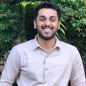
YASHAS RAMESH
GIS ENGINEER
GIS | Remote Sensing | UAV | LiDAR | Python
About Me
I am a GIS and Geospatial Engineer with experience in remote sensing, UAV photogrammetry, LiDAR processing, and geospatial data analysis. My work involves transforming satellite, aerial, and field datasets into practical outputs for mapping, planning, and decision-making.
I have worked with ArcGIS Pro, QGIS, Google Earth Engine, and Python tools such as GeoPandas, Rasterio, Pandas, and NumPy for spatial analysis and automation. I also have hands-on experience in processing drone imagery, point clouds, and raster datasets for environmental and infrastructure applications.
My interest lies in combining geospatial science, data-driven workflows, and practical problem solving to support sustainable land and resource management. I am especially motivated by projects that connect data, technology, and field realities.
Skills
-
GIS & Remote Sensing
- QGIS, ArcGIS Pro, Google Earth Engine
- GDAL / OGR, GRASS GIS
-
Programming
- Python — GeoPandas, NumPy, Pandas
- SQL, PostgreSQL + PostGIS
-
Data & Cloud
- PostgreSQL + PostGIS
- Data formats: GeoJSON, GeoTIFF, NetCDF
-
Drone / UAV Data Processing
- Photogrammetry: Agisoft Metashape, OpenDroneMap
- Point cloud processing: CloudCompare, PDAL
- GNSS Processing: Leica Infinity, CORS/Virtual RINEX
-
LiDAR Data Processing
- Pre-Processing: DJI Terra
- Post-Processing: Spatix
- LiPowerline
-
Web & Documentation
- GitHub, GitHub Pages, Static Site Generators (MkDocs)
- Using LLMs for data extraction and Markdown content creation