Projects
A selection of my geospatial projects. Click any card to see the full write-up.
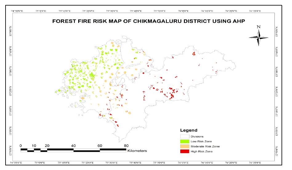
Forest Fire Risk Zonation – Chikmagaluru District
Built a forest fire risk zoning model for Chikmagaluru using remote sensing, terrain, climate, and land-use data to map vulnerable areas and support mitigation planning.
ArcGIS QGIS Google Earth Engine Python
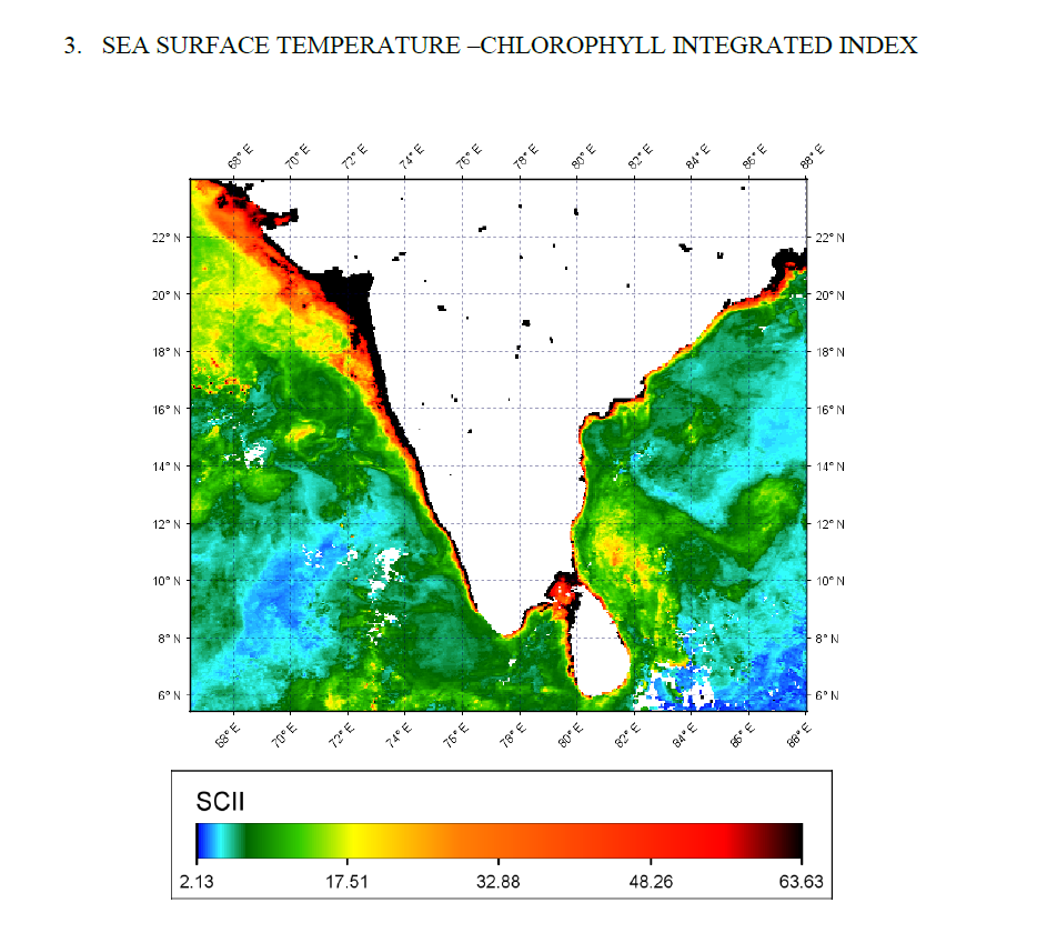
Potential Fishing Zone (PFZ) Mapping
Mapped PFZs along the Indian coast using SST and Chlorophyll-a data, then validated the outputs against INCOIS advisory information.
Remote Sensing SeaDAS MODIS Python
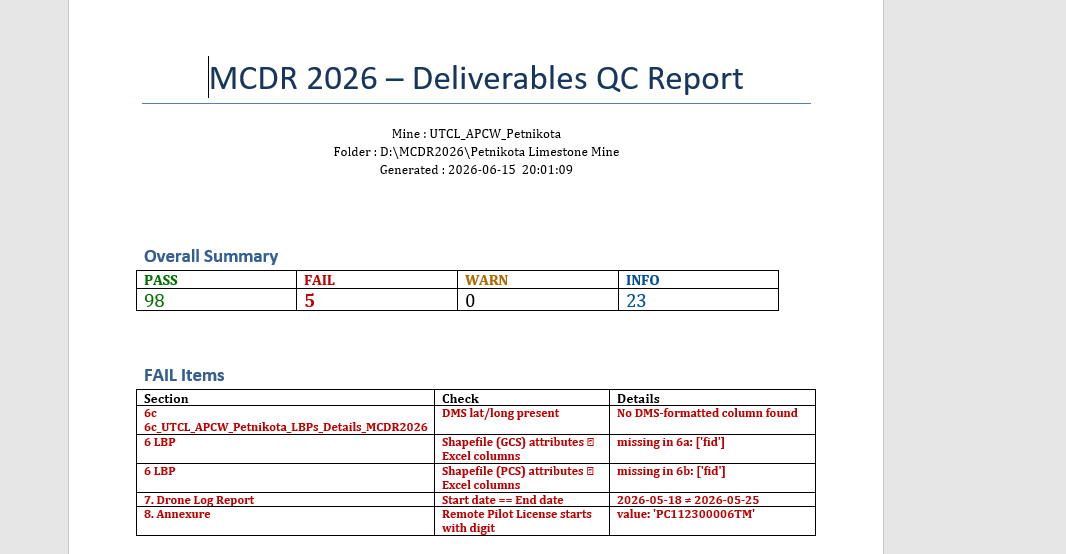
Built an automated QC workflow for MCDR 2026 deliverables to validate raster metadata, shapefiles, RMSE outputs, drone logs, and annexure consistency.
Python GeoPandas Rasterio pandas
Explains the end-to-end process for converting GCP/PGCP inputs into geographic coordinates, derived fields, and output deliverables.
Python GeoPandas PyProj pandas
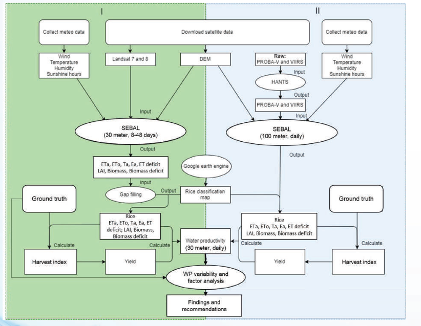
Crop-Water Productivity – Tungabhadra Left Bank Canal
Estimated spatially explicit actual evapotranspiration and water productivity for the Tungabhadra Left Bank Canal command area using PySEBAL, Landsat, GLDAS, and HiHydroSoil data.
PySEBAL Landsat GLDAS Google Earth Engine QGIS Python
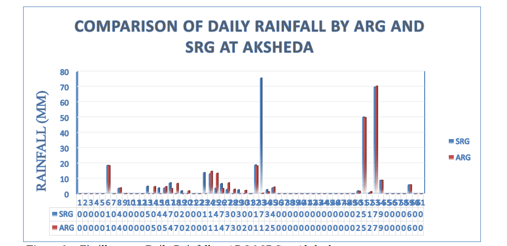
Rainfall Data Validation & GIS Mapping – Tungabhadra
Applied ACIWRM's data validation framework to compare Standard and Autographic Rain Gauge records, and geo-referenced raingauge station data for the Tungabhadra basin in QGIS and ArcGIS.
QGIS ArcGIS IMD Data Hydrology